The record
Written from the 2 reports below. Nothing here is unsourced.
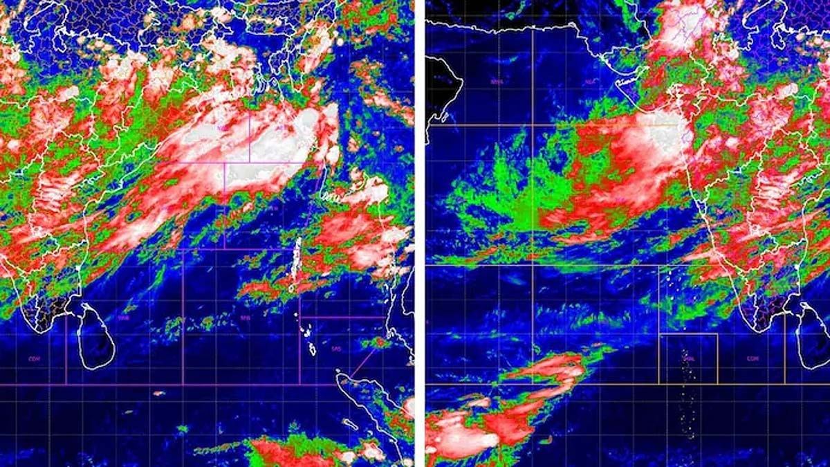
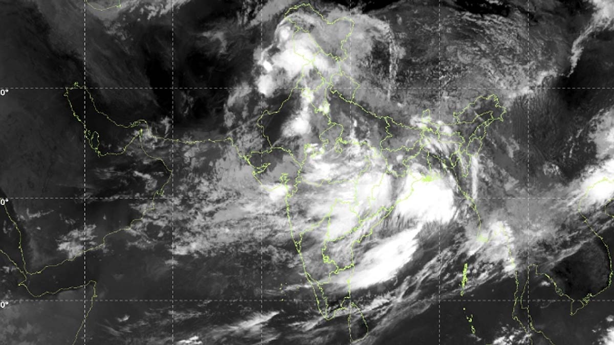
- ISRO satellite imagery and India Meteorological Department reports show five cyclonic systems and active monsoon troughs driving heavy rainfall across multiple Indian states as of mid-July 2026.
- The data marks a revitalized and unusually active monsoon phase, with extensive cloud cover visible over large swaths of the subcontinent.
- The information matters because persistent heavy rain raises flood, landslide, and infrastructure-disruption risks, particularly in low-lying and coastal districts.
- Both articles are sourced from neutral domestic outlets relaying official observations; there is no competing narrative, only factual relay of meteorological data.
- Residents, emergency services, and agricultural planners are the primary affected groups.
- Key uncertainties include whether the five systems will merge or stall, which would amplify rainfall totals, and whether IMD will issue higher-tier warnings.
What to watch next
- Meteor of additional IMD high-alert bulletins for specific districts.
- Onset of urban flooding or transport disruptions in affected metros.
- Agricultural impact assessments once waters recede.
What changed2
Every report on this story, newest first. Times are when each outlet published.
Why it matters2
Who is affected first and what likely follows, with a direction and a horizon. Extracted from the reports, never invented.
- Multiple Indian states heavy rainfall and flooding risk· days
- Agriculture sector crop damage or delay· weeks
Coverage1
2 reports
Indian-language2
All filed from IndiaSingle origin
Named India · Bihar · Chhattisgarh · Delhi · Haryana · Jharkhand · Madhya Pradesh · Odisha · Uttar Pradesh · Arabian Sea · Bay of Bengal · El Nino · India Meteorological Department
The 2 reports are listed beside the record.
Ask this story
Answers cite the reports above, or say they can't.