The record
Written from the 1 report below. Nothing here is unsourced.
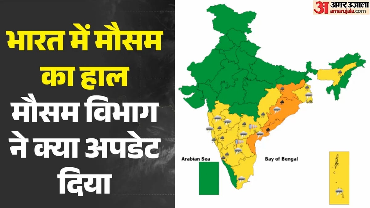
- A low-pressure area over the Bay of Bengal is intensifying into a deep depression expected to hit the Odisha and Andhra Pradesh coast on the night of September 23.
- Coastal districts are preparing for heavy rainfall and wind speeds reaching up to 75 kilometers per hour.
- Fishermen have been strictly advised against venturing into the sea until September 24.
- The state government has deployed emergency personnel and machinery to affected areas to mitigate potential flooding and storm impacts.
What to watch next
- Progression of the low-pressure area into a deep depression
- Actual landfall between Visakhapatnam and Gopalpur on September 23
- Red alert status for Southern Odisha districts through September 25
Who said what1
Only words found exactly in the article are shown, attributed and linked to the line they came from.
Anu Garg
1 quote · 1 outlet
“IMD ने इसके गहरे दबाव में बदलने का पूर्वानुमान लगाया है, चक्रवात में नहीं।”
In the article
…यह 23 सितंबर की रात को विशाखापत्तनम और गोपालपुर के बीच तटों को पार करेगी। क्या यह चक्रवाती तूफान में बदलेगा? यह पूछे जाने पर कि क्या यह प्रणाली चक्रवाती तूफान में बदल सकती है, अनु गर्ग ने स्पष्ट किया। उन्होंने कहा कि IMD ने इसके गहरे दबाव में बदलने का पूर्वानुमान लगाया है, चक्रवात में नहीं। गर्ग ने बताया कि सरकार ने राज्य के तटीय और दक्षिणी क्षेत्रों में अत्यधिक भारी बारिश और तेज हवाओं से निपटने के लिए आवश्यक कर्मियों और मशीनों को तैनात किया है। उन्होंने संक्षेप में कहा कि यह मौसम प्रणाली बहुत अधिक बारिश…
Coverage1
All filed from India
Named India · Andhra Pradesh · Bay of Bengal · Odisha · Anu Garg · India Meteorological Department · Manorama Mohanty · Odisha Government · V Keerthi Vasan
The 1 report is listed beside the record.
Ask this story
Answers cite the reports above, or say they can't.