The record
Written from the 1 report below. Nothing here is unsourced.
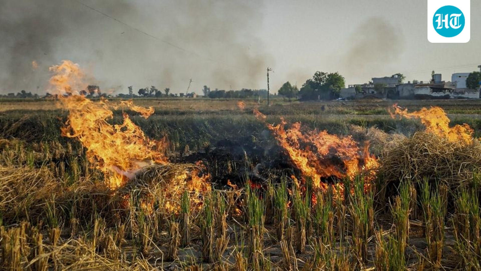
- The Commission for Air Quality Management has asked Isro to improve the accuracy of the satellite models used to detect and classify crop stubble fires, so they can distinguish large fires from small, localised ones and grade them as high, medium or low intensity.
- Current satellite overpasses capture fires only between roughly 10.30am and 1.30pm, and studies have noted farmers burning fields in the evening to avoid detection, so fire counts have been questioned.
- Better classification would allow more accurate estimates of emissions from stubble burning, which contribute to Delhi-NCR's winter pollution.
- CAQM has also, for the first time, mandated drones in Punjab, Haryana, Uttar Pradesh and Rajasthan to detect fires between 3pm and 9pm and to verify satellite burnt-area figures.
What to watch next
- Whether Isro responds to or acts on CAQM's request to revise its fire-detection methodology and models.
- Implementation of the drone SOP by Punjab, Haryana, Uttar Pradesh and Rajasthan in the upcoming winter season.
- Whether revised satellite and drone data change this winter's fire counts, given last year's sharp declines in Punjab and Haryana.
Who said what1
Only words found exactly in the article are shown, attributed and linked to the line they came from.
CAQM official
1 quote · 1 outlet
“Since the end of the previous winter, we have been in talks with Isro to improve the accuracy of the model used to calculate burnt area for crops. The satellites and models used presently cannot differentiate between the nature of fire, whether it is a large fire or a small localised fire.”
In the article
…model cannot differentiate between larger farm fires and a smaller, localised fire, and the same can help it accurately gauge the emissions through stubble burning. The official, who did not wish to be named, said, “ Since the end of the previous winter, we have been in talks with Isro to improve the accuracy of the model used to calculate burnt area for crops. The satellites and models used presently cannot differentiate between the nature of fire, whether it is a large fire or a small localised fire. ” Isro did not respond to HT’s request for comment until the time of the report going to print. Also read: MCG commissioner reviews progress on CAQM action plan Fire intensity linked to emissions The official said that…
Coverage1
All filed from India
Named India · Delhi · Haryana · Indian Agricultural Research Institute · Madhya Pradesh · Punjab · Rajasthan · Uttar Pradesh · Commission for Air Quality Management · ISRO
The 1 report is listed beside the record.
Ask this story
Answers cite the reports above, or say they can't.