place · 1 record
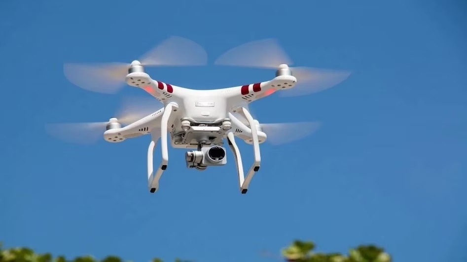
The Municipal Corporation of Delhi has launched a pilot project using drone-based GIS and 3D mapping to improve the accuracy and transparency of property tax assessments.