The record
Written from the 1 report below. Nothing here is unsourced.
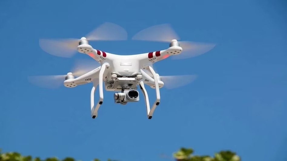
- The Municipal Corporation of Delhi is conducting a pilot drone survey in the Rohini and Shahdara South zones to digitize property data.
- The project utilizes technologies such as LiDAR, GIS, AI, and 3D modeling to identify discrepancies between declared and actual construction.
- This initiative aims to reduce manual inspection requirements and automate the identification of underreported assets.
- Enhanced accuracy in property records is expected to foster transparency in tax collection for both the municipality and citizens.
What to watch next
- Expansion of the drone-based survey beyond the pilot wards
- Integration of the digital dashboard for tax collection monitoring
- Citizen feedback on the new automated assessment process
Coverage1
1 report
Indian-language1
All filed from India
Named India · Rohini · Shahdara South · Municipal Corporation of Delhi
The 1 report is listed beside the record.
Ask this story
Answers cite the reports above, or say they can't.